|
Shortcuts to specific themes: Agriculture | Biodiversity | Climate | Countries thematic maps: Kenya; Tanzania; Uganda | Protected areas |
|||||
|
|
|
||||
Agriculture |
|
||||
|
|
|||||
Biodiversity |
 |
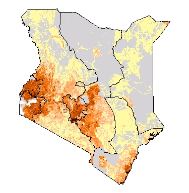
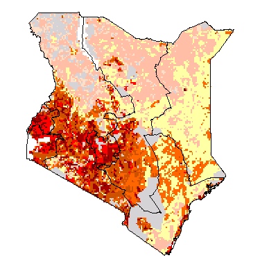
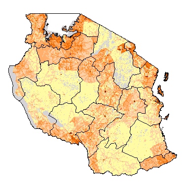
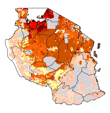
Poverty and freshwater biodiversity in Eastern Africa Red areas where high percentage of children with stunted growth - used as a proxy for poverty - coincide with a high freshwater biodiversity index - a proxy for biodiversity - likely indicate areas in which poor people have no other choice than to unsustainably extract resources, in turn threatening biodiversity. © Poverty Mapping |
|||
|
|
|
||||
Climate |
|
|
Mean daily rainfall in East-Africa mean precipitation [mm/day] calculated from the CRU TS 2.1 1971-2000 climatology. © KNMI Koninklijk Nederlands Meteorologisch Instituut |
||
|
|
|||||
|
|
|
||||
|
|
the following maps and respective legends are © FAO www.fao.org |
||||
|
|
|||||
|
|
|
||||
|
|
|
||||
|
|
|
||||
|
|
|
|
|||
|
|
|||||
|
|
|
||||
|
|
|
||||
|
|
|
||||
|
|
|
|
|||
|
|
|||||
|
|
|
||||
|
|
|
||||
|
|
|
|
|||
| Protected Areas |
|
|
|||