| Sub categories | Details / Legends / Copyright / Map Links | |
| political |
|
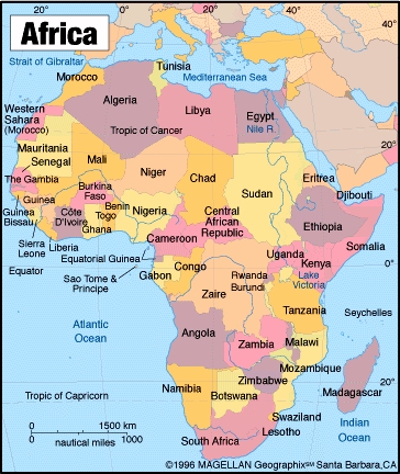
Africa political map This map shows political boundaries and main rivers. © 1996 Magellan Geographic |
|
|
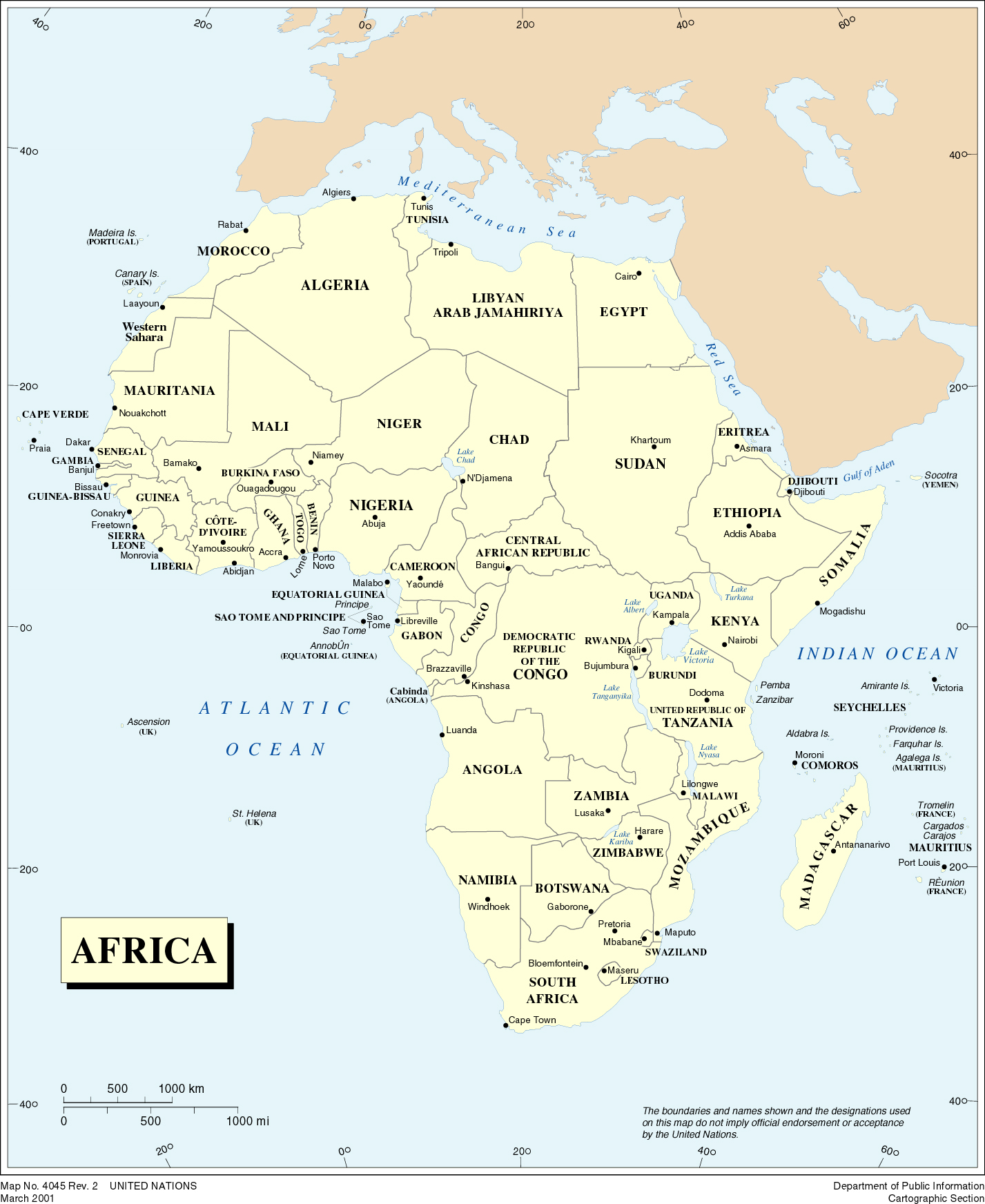
Africa political map (>200ko) This map shows political boundaries. © 2001 UN |
|
|
|
|
|
| land use |
|
The land cover of Africa for the year 2000 (>900ko) This map shows land cover classes with tree layer, shrub or grass layer and dominant agriculture. © European Commission |
|
|
|
|
| vegetation |
|
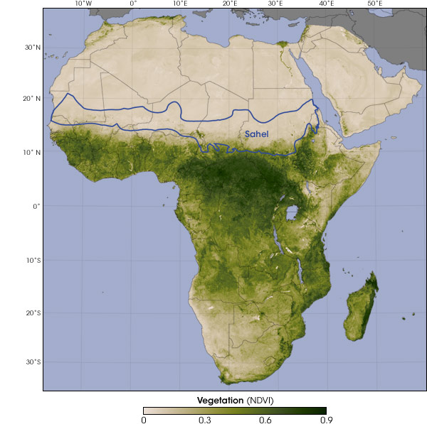
Vegetation satellite map This map shows vegetation in the final two weeks of June 2005, near the end of the dry season in the Sahel. Dark green indicates dense vegetation, while light green and beige indicate sparse vegetation and barren land. (Map by Robert Simmon, based on GIMMS vegetation data and World Wildlife Fund ecoregions data). © NASA |
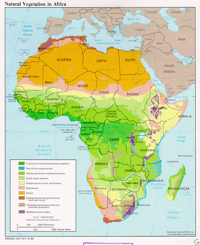 |
Vegetation map This map shows the main biome regions. | |